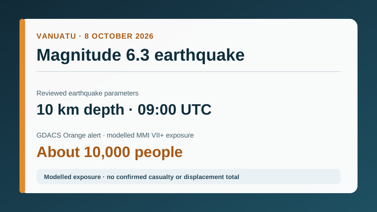
A shallow magnitude 6.3 earthquake struck about 102 kilometres northeast of Norsup in northern Vanuatu at 09:00 Coordinated Universal Time (UTC) on 8 October 2026. The United States Geological Survey (USGS) placed the centre at 15.541°S, 168.189°E and a depth of 10 kilometres. Vanuatu’s national earthquake catalogue also recorded a shallow Vanuatu…
M6.3 EARTHQUAKE · 10 KM DEPTH · GDACS ORANGE · 10,000 MODELLED AT MMI VII+ · NO CONFIRMED IMPACT TOTAL
Vanuatu authorities ended the search for people missing after the MV Matui sank in rough seas on 11 September 2026 while travelling from Santo to Ambae. The latest reconciled manifest reported 53 people aboard: 14 survivors, two people recovered dead and 37 still missing when the search at sea ended on 17 September. Authorities described 39 people as…

 Vanuatu