
Hurricane Polo reaches Category 5 strength; GDACS estimates 6,459 exposed in Mexico
Tropical Cyclone (a)
In brief
- What happenedThe National Hurricane Center said Tropical Storm Polo was strengthening off southwestern Mexico on 21 September 2026.
- Reported impactMaximum sustained winds: 287 km/h · Category 5 · GDACS event maximum · Modelled Category 1+ exposure: 6,459 people in Mexico · GDACS alert: Green · low humanitarian impact
- What help is neededResponse priorities should be confirmed in the linked source reports as needs change.
WorldsAid verification
A WorldsAid editor reviewed this record against 3 attributed sources, cleaned feed formatting and checked the event, place and reporting date. 6 human-impact figures were separated from the narrative and dated where the source allowed. Earlier observations remain in the evidence history instead of being silently overwritten.
What changed
Updated verified snapshot
This record was first dated 2026-09-21 and last verified 2026-09-26.
Situation
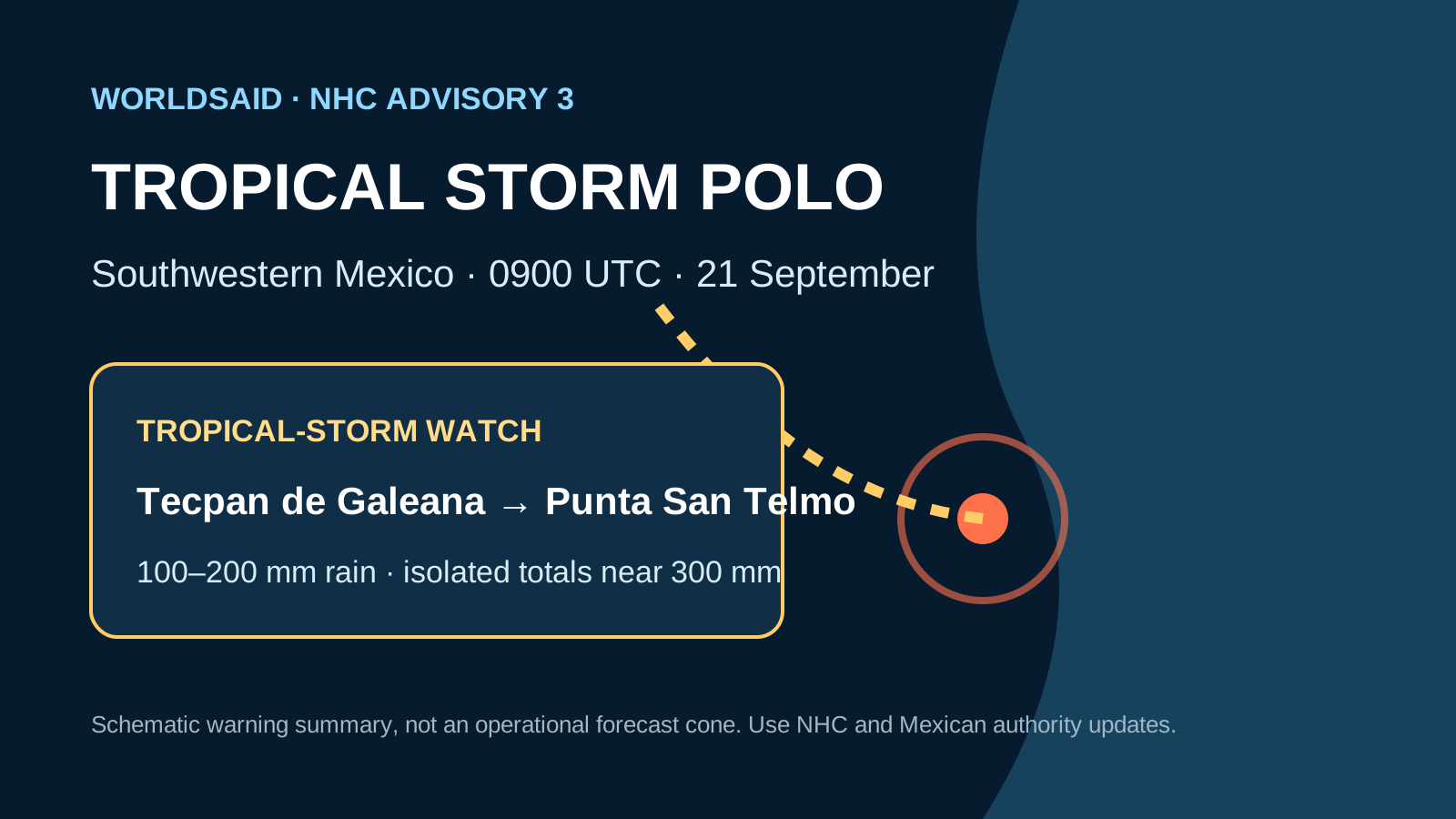
The National Hurricane Center said Tropical Storm Polo was strengthening off southwestern Mexico on 21 September 2026. At 0900 UTC, Polo was about 395 km south of Manzanillo and 340 km southwest of Zihuatanejo, with maximum sustained winds of 75 km/h. Mexico issued a tropical-storm watch from Tecpan de Galeana to Punta San Telmo, and rainfall of 100-200 mm with isolated totals near 300 mm was forecast through 24 September.
GDACS subsequently recorded Polo over 21-26 September with maximum sustained winds of 287 km/h, equivalent to Category 5 intensity, and classified the event Green for low humanitarian impact. Its model estimated 6,459 people in Mexico within the Category 1-or-stronger wind footprint. That is a modelled exposure estimate, not an observed affected, displaced or casualty total; no verified casualty count is promoted here. The original 21 September watch observation remains preserved below.
Verified figures
- Maximum sustained winds
- 287 km/h · Category 5 · GDACS event maximum retained at 2026-09-26
- Modelled Category 1+ exposure
- 6,459 people in Mexico retained at 2026-09-26
- GDACS alert
- Green · low humanitarian impact retained at 2026-09-26
- Forecast rainfall
- 100–200 mm; isolated totals near 300 mm through 24 September retained at 2026-09-26
- Event period
- 21-26 September 2026 retained at 2026-09-26
- Scope note
- Exposure is modelled hazard-footprint population, not an observed affected or displaced count retained at 2026-09-26
What we knew when
- WorldsAid record entered the retained historical dataset.
- NHC advisory 3: 75 km/h winds; tropical-storm watch issued; rapid intensification forecast preserved as a dated, source-linked observation. Source
- GDACS GREEN · LOW HUMANITARIAN IMPACT · 287 KM/H CATEGORY 5 EVENT MAXIMUM · 6,459 PEOPLE MODELLED IN CATEGORY 1+ WIND FOOTPRINT preserved as a dated, source-linked observation. Source
Earlier figures are never replaced by later values; additional observations are retained as new ledger entries.
Provenance
This page renders the last verified WorldsAid cache directly in HTML. It does not treat generated summaries as primary evidence.
Cached dataset: worldsai_drup771.sql.gz
Verified
SHA-256 632f8e839d06729ee54503b0aac28e56a14c48c4041291b6ec65882de5ea65e7