
Tree Aid · Transforming Land and Livelihoods
Charity project
AFRICA Aid Zone
7.9465, -1.0232
Project overview
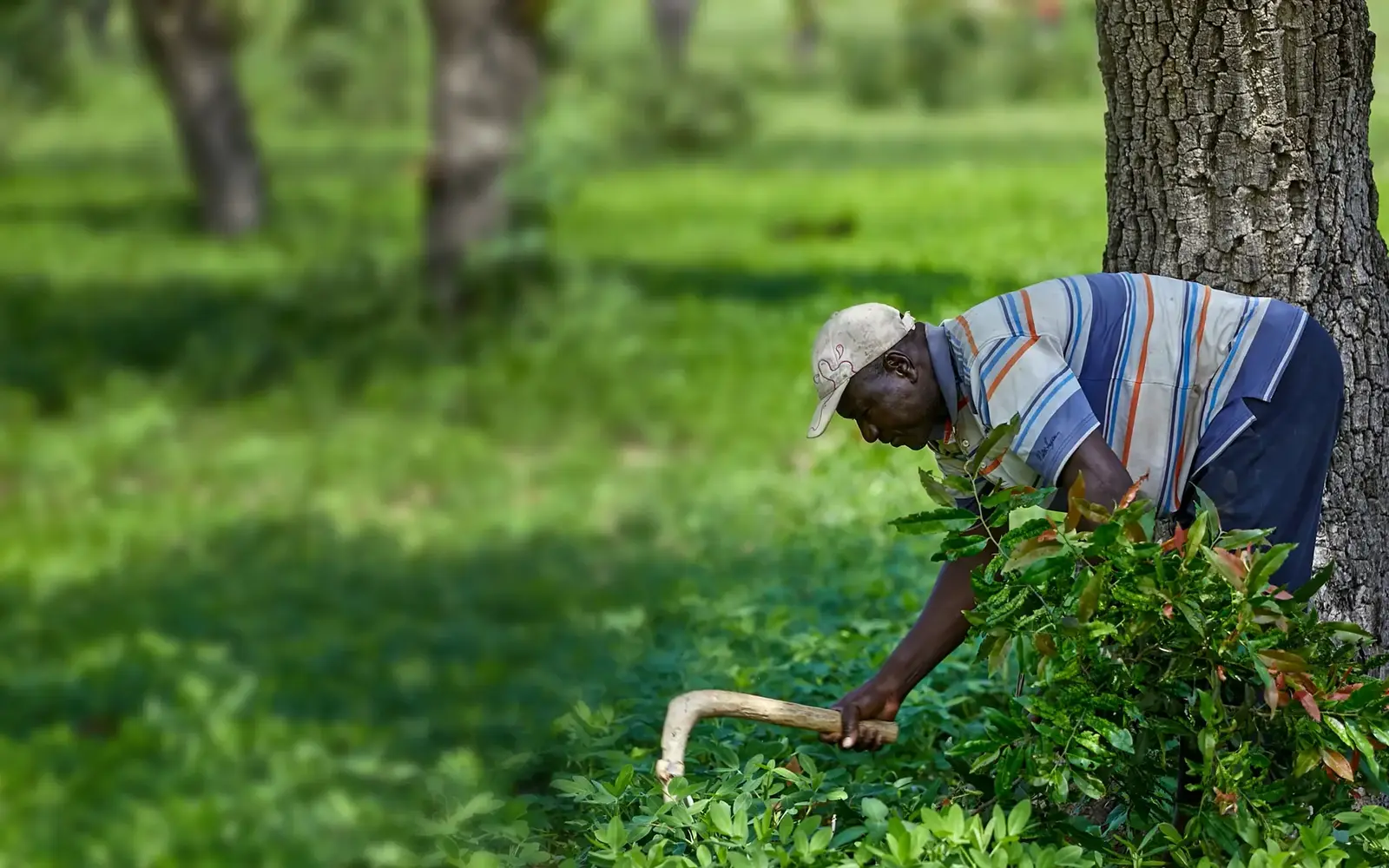
- Project or resultThis completed four-year project supported sustainable farming, livelihoods and access to social protection.
- Reported resultsProject status: Completed · Mapped location: Country context · Northern and Upper East Ghana
- Location contextNorthern and Upper East Ghana
What changed
First retained snapshot
No earlier verified snapshot is present in the recovered dataset. This record remains available as the historical baseline.
Situation
This completed four-year project supported sustainable farming, livelihoods and access to social protection. Tree Aid worked with civil society organisations and women’s groups to strengthen climate resilience and rural incomes.
Location context: Northern and Upper East Ghana. The map shows country context, not an exact project site.
Official organisation source checked 6 October 2026.
Linked charities and agencies
WorldsAid verification
A WorldsAid editor checked this project story against 2 attributed Tree Aid source pages. Its mapped location is labelled: Northern and Upper East Ghana. Results are presented as organisation-reported where applicable.
Verified figures
- Project status
- Completed retained at 2026-10-06
- Mapped location
- Country context · Northern and Upper East Ghana retained at 2026-10-06
What we knew when
- WorldsAid record entered the retained historical dataset.
- Official organisation project page checked; map uses country context. preserved as a dated, source-linked observation. Source
Earlier figures are never replaced by later values; additional observations are retained as new ledger entries.
Provenance
This page renders the last verified WorldsAid cache directly in HTML. It does not treat generated summaries as primary evidence.
Cached dataset: worldsai_drup771.sql.gz
Verified
SHA-256 5c5b3634d0116f65656a6928ee273ee8ca4bce4eee41e277125599a6811b1077